
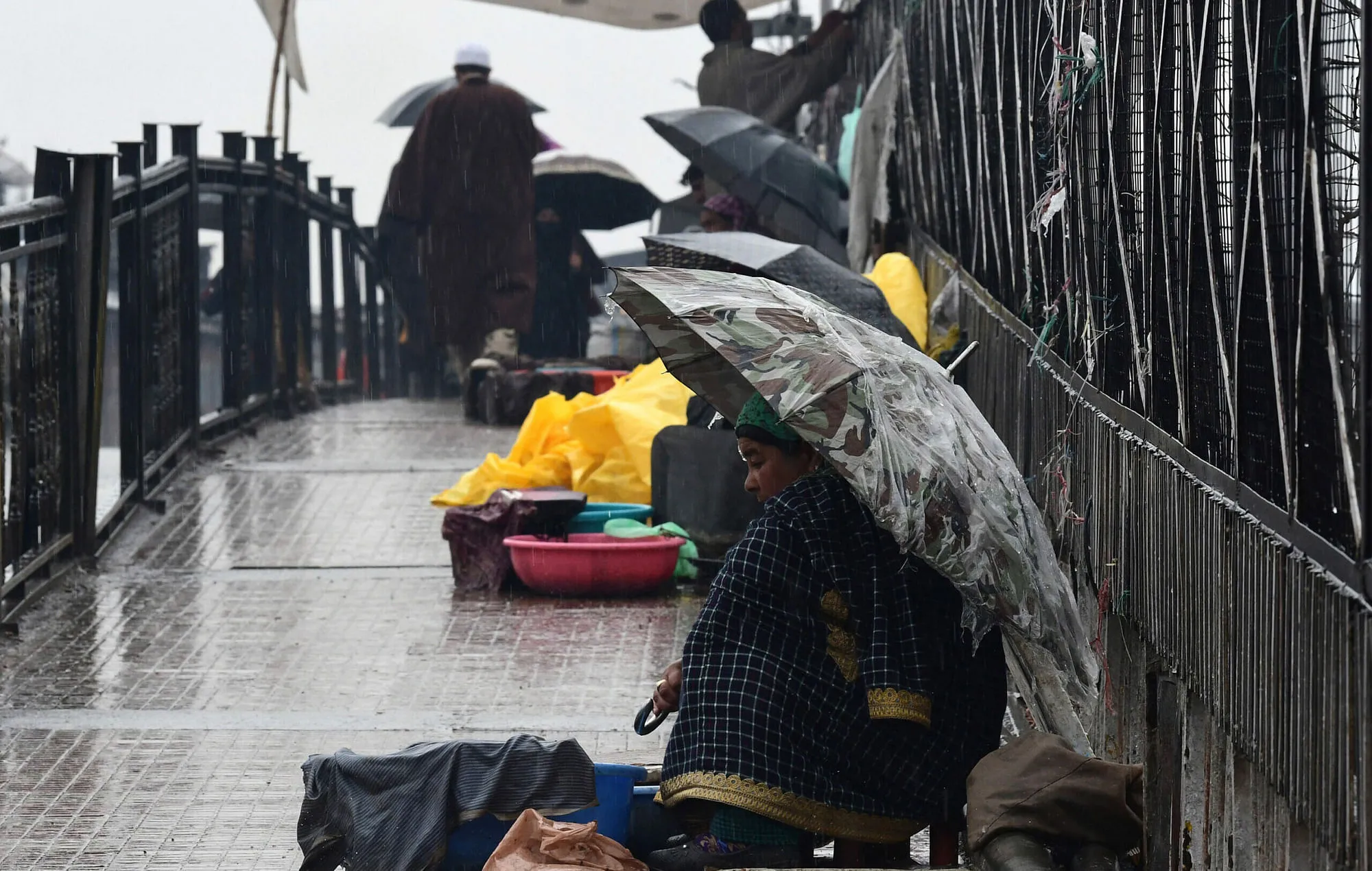


Srinagar, Mar 26: Almost a week-long spell of rain and snow is all set to hit Kashmir, Jammu, and Ladakh starting from Wednesday, Meteorological Department officials here said.
This weather activity is attributed to a Western Disturbance currently over the Western Himalayas, with another stronger system expected to arrive over Jammu and Kashmir on March 29.
The two systems are likely to overlap, intensifying the weather activity over the hills, especially during the second episode.
Multilayered clouds have already spread across most parts of Kashmir, Jammu and Ladakh.
The weather activity is forecasted to continue until the end of the month, with possible spill-over into the opening days of the next month.
In terms of precipitation, rain and thundershowers are expected in the lower hills, while scattered snowfall is likely over elevated peaks beyond 12,000 feet.
J&K is expected to witness intense weather activity, with potential lightning strikes and hailstorms.
Meanwhile, night temperature recorded an increase with the mercury settling above sub-zero levels across J&K including Gulmarg and Pahalgam on Sunday.
A Meteorological Department official said that Srinagar recorded a minimum of 10.2 degrees Celsius against 6.5 degrees Celsius the previous night and it was above normal by 5.2 degrees Celsius.
Qazigund recorded a minimum of 6.8 degrees Celsius against 5.8 degrees Celsius the previous night and it was 3.1 degrees Celsius above normal.
Pahalgam recorded a low of 3.6 degrees Celsius against minus 1.1 degrees Celsius the previous night and it was 3.2 degrees Celsius above normal.
Kokernag recorded a minimum of 7.7 degrees Celsius against 5.6 degrees Celsius the previous night and it was 4.4 degrees Celsius above normal.
Kupwara town recorded a low of 8.1 degrees Celsius against 5.6 degrees Celsius the previous night and it was 4.9 degrees Celsius above normal.
Gulmarg recorded a low of 1.4 degrees Celsius against minus 2.5 degrees Celsius the previous night and it was above normal by 3 degrees Celsius.
Jammu recorded a minimum of 17.2 degrees Celsius and it was above normal by 1.7 degrees Celsius.
Banihal recorded a low of 9 degrees Celsius, Batote 10 degrees Celsius, and Bhaderwah 9 degrees Celsius.
Mainly dry weather is expected during the next 24 hours with the possibility of very light rain and thunder showers at one or two places over the higher reaches of J&K.