


Srinagar, Apr 14: Rains soaked most plains while a few upper reaches received light snowfall in Jammu and Kashmir even as the Meteorological Department predicted more precipitation in the next 24 hours.
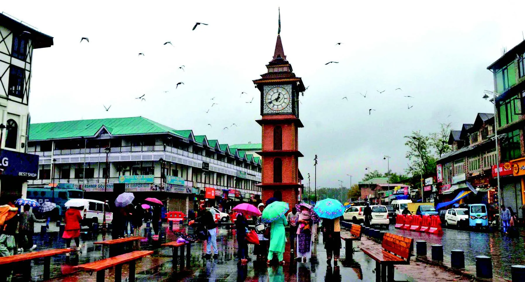
Srinagar and other parts of Kashmir experienced moderate rainfall during the past 24 hours, disrupting normal life and bringing down temperatures.
Higher reaches of north Kashmir’s Kupwara district, Gurez Valley of Bandipora district, the tourist resort of Sonamarg, and Zojila Pass on the Srinagar-Leh National Highway experienced fresh light snowfall during the past 24 hours.
The Meteorological Department officials here said that in the past 24 hours, light to moderate rain was recorded at most places along with light snowfall in some higher reaches.
Many low-lying areas were waterlogged due to the rainfall in Srinagar and other parts of Kashmir.
According to MeT, rainfall until 8:30 am included 15 mm in Srinagar, 15.2 mm in Qazigund, 32.4 mm in Pahalgam, 11.6 mm in Kupwara, 8.44 mm in Kokernag, 8.2 mm in Gulmarg, traces in Jammu, 27.6 mm in Banihal, 9.5 mm in Batote, traces in Katra, and 8.6 mm in Bhaderwah.
The weather forecast by MeT indicates generally cloudy weather with light to moderate rain in plains and snow in higher reaches, with the possibility of heavy rain, thunder, lightning, and gusty winds at isolated places until April 15.
From April 16 to 17, partly to generally cloudy weather with light rain and snow in higher reaches is expected at isolated places.
From April 18 to 19, generally cloudy weather with light rain and snow over the higher reaches at many places, along with thunder and lightning, is expected.
From April 20 to 24, generally, dry weather is expected, but afternoon thundershower activity cannot be ruled out.
Farmers have been advised to suspend farm operations until April 16.
Temporary disruption of surface transportation over a few higher reaches is expected on April 14 and 15.
Temporary water logging is expected in a few low-lying areas, with a possibility of landslides, mudslides, and shooting stones.
Regarding temperatures, Srinagar recorded a minimum of 10 degrees Celsius, which is 2.4 degrees Celsius above normal for this time of year.
Qazigund recorded a minimum of 9.4 degrees Celsius, Pahalgam 5.7 degrees Celsius, Kokernag 8.6 degrees Celsius, Kupwara 8.9 degrees Celsius, and Gulmarg 2.6 degrees Celsius.
Jammu recorded a minimum of 21.5 degrees Celsius, Banihal 10.6 degrees Celsius, Batote 10.6 degrees Celsius, and Bhaderwah 10.4 degrees Celsius.
Meanwhile, Jammu and Kashmir Disaster Management Authority (JKDMA) Sunday issued an avalanche warning in the higher reaches of two districts of Kashmir during the next 24 hours, officials said.
It said that an avalanche with a “medium danger” level is likely to occur above 2400 metres over the north Kashmir district of Kupwara and central Kashmir’s Ganderbal districts in the next 24 hours.
People living in these areas have been advised to take precautions and avoid venturing into the avalanche-prone areas till further orders.
The authorities have also asked the people living in these districts to dial 112 for help given any emergency.